bissedesion-panneau1-en
Conceive
Bisse de Sion/Irrigation channel of Sion
Total length: 14 km
Altitude: 1’850 until 1’100 m. a. sea level
Walking time: approx. 3 hours
Degree of difficulty: T2
Official map of Swiss hiking paths 1:50’000: No. 273T Montana
Why build a Bisse?
The city of Sion built this irrigation channel between 1901 and 1903 without a single water intake along the entire length. Therefore, the irrigation channel is used for irrigation only in an indirect way. It fills the river Sionne, which supplies water to the Bisses Lentine, Montorge and Siphon. This water is necessary to irrigate the vineyards of Sion and Savièse.
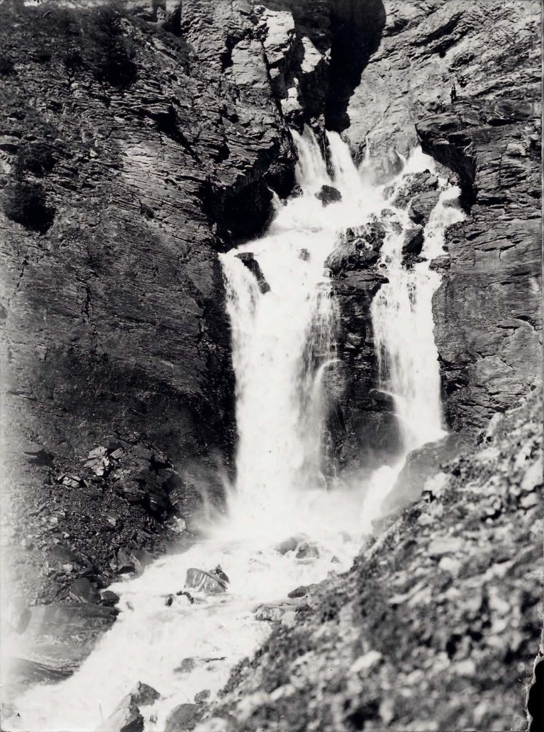
The water in the Sionne stream does not originate from a glacier, but from the melting snow. That is why the water level of the stream is very low in the summer months. The Sionne serves even nowadays to irrigate the vineyards and the city of Sion had even used it as a source for drinking water and as an open sewage system!
The administration of Sion had indeed tried to act against the lack of water in the Sionne River already around 1860, by building the irrigation channel Audannes. This bisse was intended to bring the precious water from Lake Audannes into the Sionne, which ended in being an expensive mistake. The construction is still sadly known as the “Bisse sec“ (dry irrigation channel)!
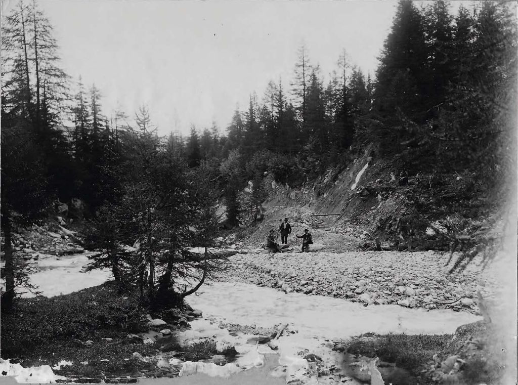
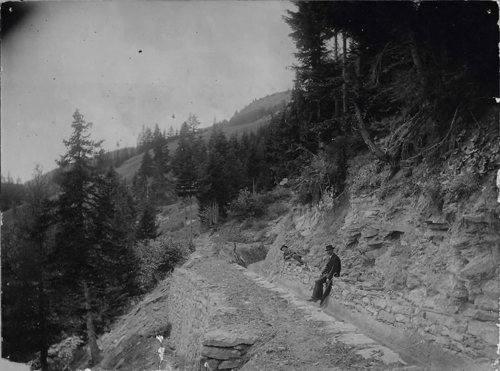
In 1901 the municipality assembly and the city council of Sion decided together to build a new bisse that would start at the sources of the Lienne and feed the basin of the Sionne. The city convoked a new building commission and mandated the land surveyor Édouard de Cocatrix to design the plans and make an estimate of costs for the new watercourse. The original cost estimate amounted to CHF 70’000.–. The city defined the specification sheet and the building application was published in the official bulletin on August 30th1901.
The municipality of Sion then negotiated an agreement for an irrigation channel on the territory of the municipality of Ayent and had to find the necessary water, in order to fulfil the purpose of the new waterway. The property rights of the precious sources did indeed belong to an alpine association and not to the municipality of Ayent. The leaders of the association of the Rawyl mountain pasture ceded the rights to use the sources, which sprung from above the rocks of Armillon, to the city of Sion on February 15th 1902 for the price of CHF 700.–. That was the starting signal for the construction!
